December 2021 Community Updates
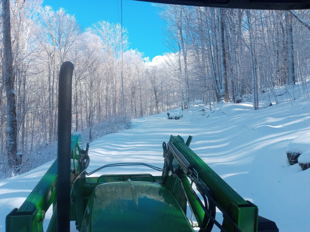
Happy Holidays to you and your families! Sadly, no white Christmas for us this year! Although many of us would have loved another snow-filled Christmas, the roads of Amber Ranches are in much better shape than they were last holiday season thanks to our milder weather this winter. Luckily, this mild season has provided the perfect time to prepare the roadways to make holiday driving as smooth as possible, since dry and frozen roads are impossible to scrape. Early December was a busy time, with emphasis placed on clearing roadways, ditches, and culverts by blowing debris and fallen leaves away. Then, gravel roads were ready to level and scrape before and after the holiday season to ensure they remain drivable.
January 2022 Projects
In January, work will continue to focus on maintaining roadways that are safe and clear of debris, snow, and ice. We plan to continue blowing leaves, clearing culverts, ditches, scraping and plowing snow off the roads if we finally get some snowy weather. Some of the roadside brush piles that were made over the summer will also be burned if weather conditions permit. Read on for helpful reminders regarding winter preparation!
Winter Weather Preparation
Please remember to fill your gas and oil tanks before inclement weather arrives. Snow, ice, and cold days with little sunshine cause our gravel roadways to become wet, soft, and muddy, thus making travel more difficult. The more traffic, the more dangerous the roads will become. If possible, please avoid the use of two-wheel drive vehicles to avoid tearing up our roads or becoming stranded on steep mountain inclines. Please remind your guests to do the same. Lastly, please try to avoid major construction projects during winter months, as heavy trucks and increased traffic will further damage wintry roadways.
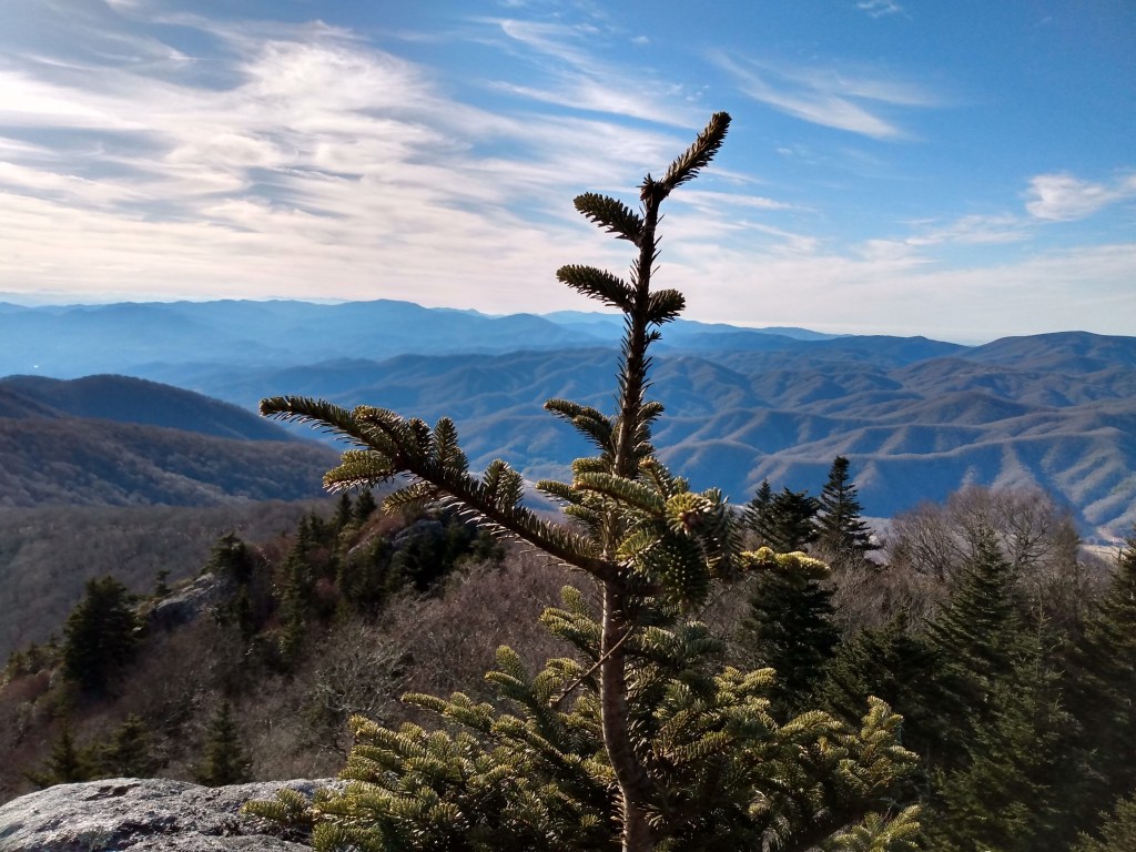
Hiking Opportunities at
Amber Ranches
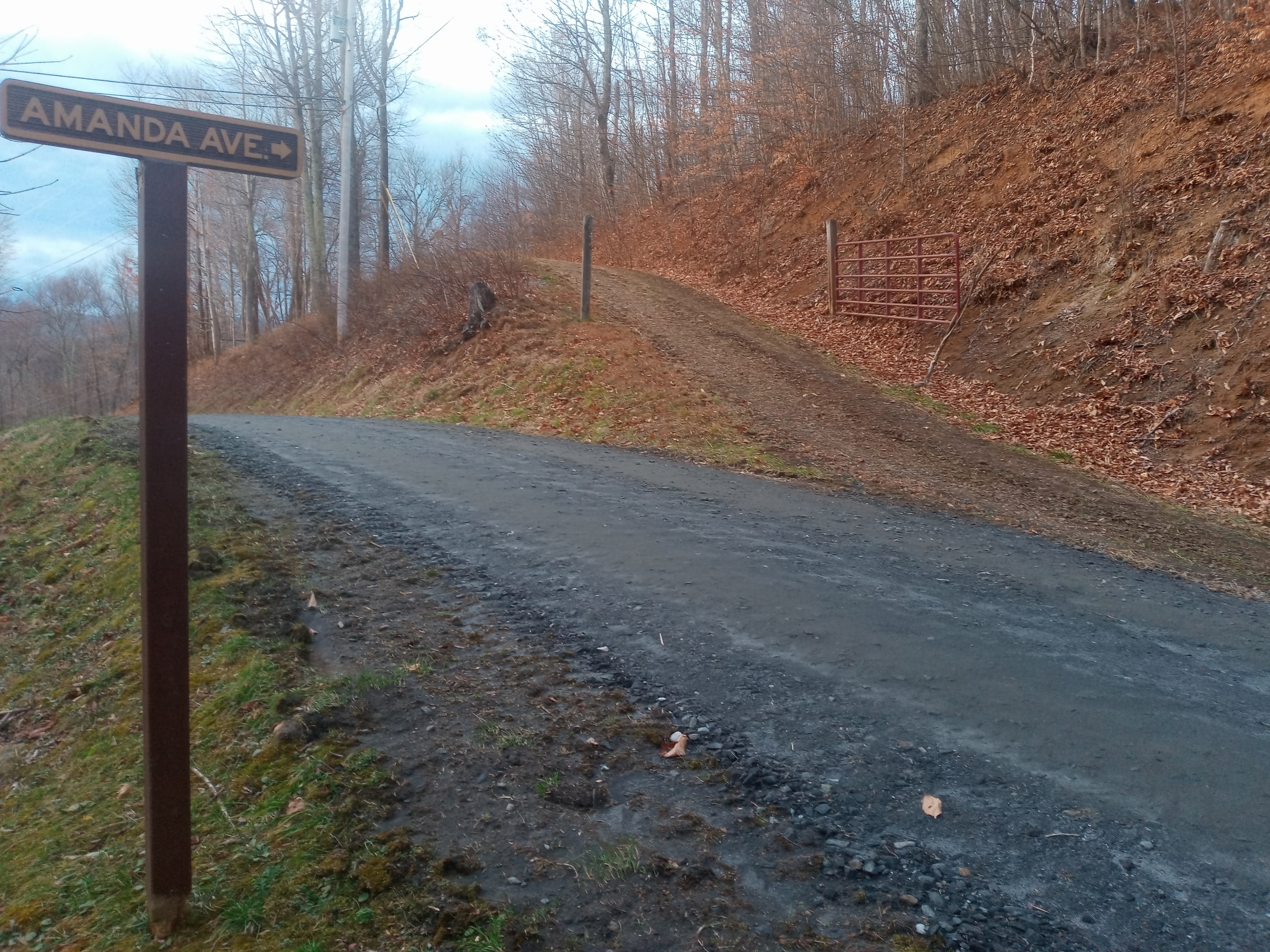
Avenue and turn right at the top of the hill.
Besides having access to the regularly maintained HOA roads at Amber Ranches, we are also fortunate to live right next door to the historic “Ball” (or “Bald”) Road. This trail was once the most important highway for the community of Buladean and served as an access point for the top of Roan Mountain and the famous Cloudland Hotel. Built in the late 1800s, the Cloudland Hotel was situated near the grassy balds of Roan Mountain and served as a luxurious summer getaway for those seeking the supposed health benefits of breathing in the cool mountain air in the higher elevations. Local residents including my own great-great-grandfather would use horses and carts to haul extra produce up the Ball Road to sell to the Cloudland Hotel until it finally went out of business in 1910. After the hotel’s closure, new roads were constructed to other trading points and the “Ball” (Bald) Road became obsolete.
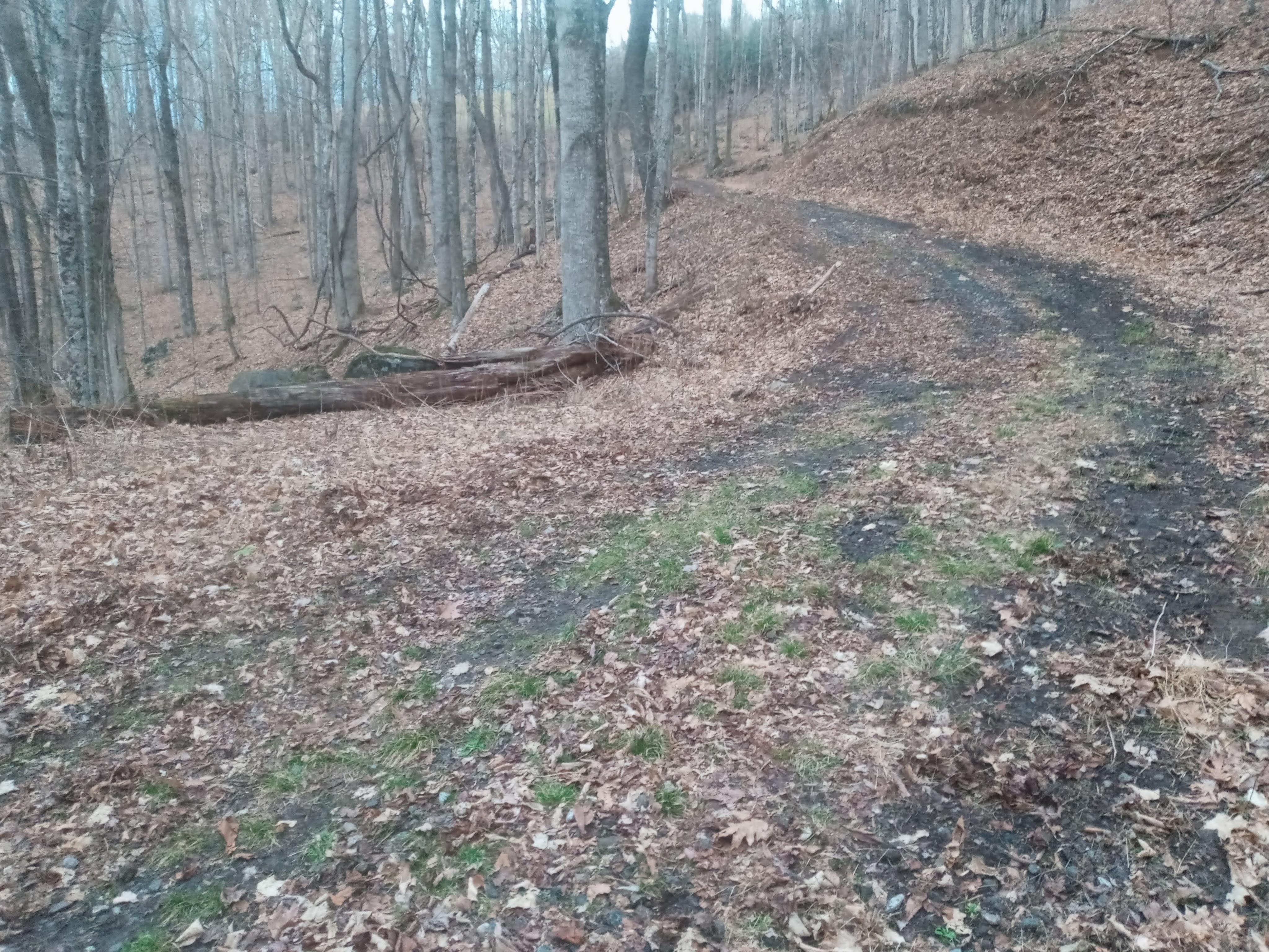
However, while the road is no longer drivable, it remains a well-kept local secret that the Ball Road is a wonderful hiking trail. Old pioneer homesteads remain on the sides of the road and history buffs will enjoy hiking back in time on this quiet, historic trail. The road starts at the bottom of Blevins Branch Road in Buladean, between the Presbyterian and Freewill Baptist Churches, travels up the mountain a few miles, and then crosses “Doc’s Place” at Amber Ranches. From there, the Ball Road crosses through Paul Campbell’s property and the Appalachian Highland Conservancy into Pisgah National Forest up to a saddle between Roan’s High Knob and the Blue Cliff (labelled as “Eagle’s Cliff” on maps). Interested in hiking the charming, historic Ball Road? Please give me a text at 828.208.1986. Unfortunately, the trail itself is not well marked, but I will be happy to give you pointers or to guide you up there myself.
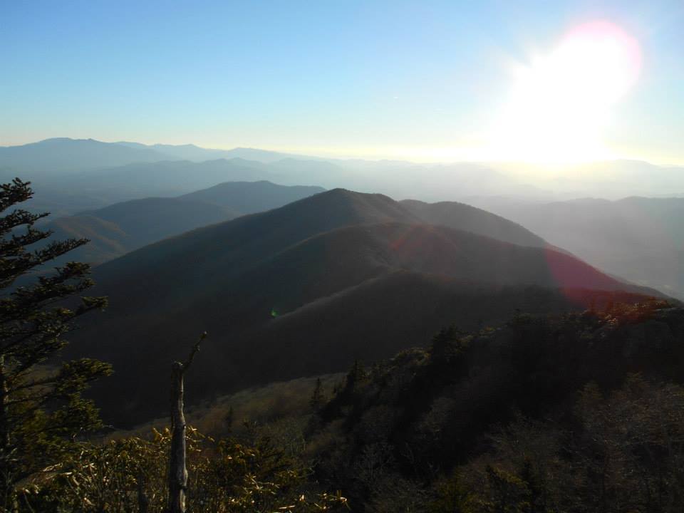
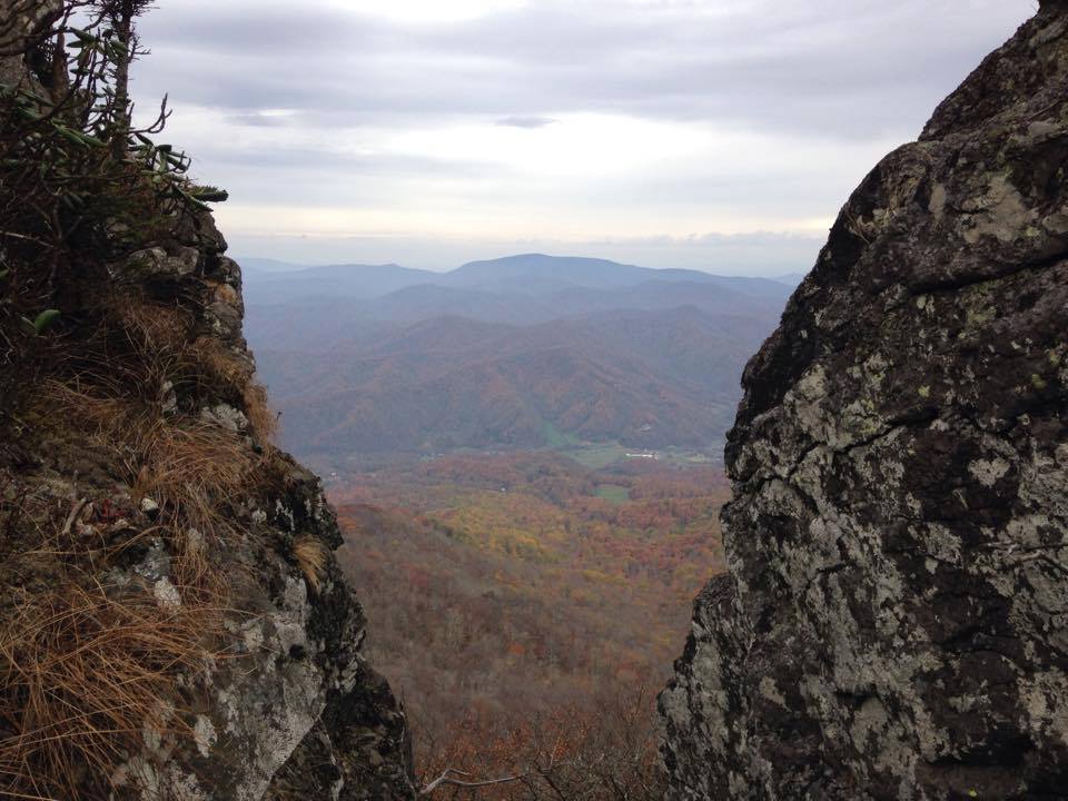
Mountain .
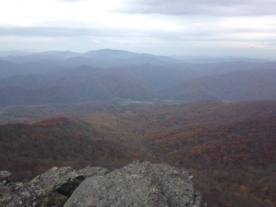
overlooking Buladean Valley.

Leave a comment